It’s 2020 and, of course, it feels like everything is falling apart once again. California is basically on fire, along with other states in the U.S., and two hurricanes are barreling toward the U.S. coast at the same time. It’s unsettling, to say the least.
Here's a definitive guide for tracking fires, hurricanes, earthquakes, volcanoes, and tsunamis live. It's 2020, so you'll need this. Share on XSo if you’re wanting to track this insanity live, we’ve got some sources for you that are perfect for 2020. Below you’ll find sources for tracking fires, hurricanes, earthquakes, volcanoes, and tsunamis live as they happen.
Live Fire Maps
First, here are two fire maps that you’ll find helpful. This first, courtesy of Google Crisis Maps, shows public alerts, California wildfire information, and current fires throughout the country courtesy of Inciweb. Just make sure that under “Layers” you have “Inciweb,” “Public alerts,” and “California Wildfire” checked to get all of it. This map is updated as changes happen.
You can also see a fire tracker map here. Another is available from GTAC here. If you’re especially interested in California, I’d suggest checking out the fire story that I keep updated here.
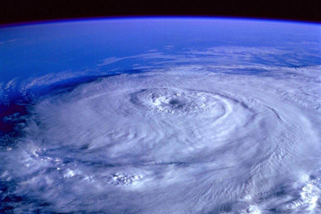
Live Hurricane Maps
Of course, we all know that fires aren’t the only issue 2020 is sending us right now. How about a live hurricane map as two potential hurricanes barrel toward the U.S. coast at the same time? Here’s one from Windy.com. You may need to adjust the map a little to see the current storms.
And then Google Crisis Maps is back with one too.
Tracking Earthquakes, Tsunamis, and Volcanoes
But let’s face it. This is 2020 so we shouldn’t limit ourselves to hurricanes and fires. How about earthquakes and tsunamis?
Here’s a nifty earthquake map here from USGS.gov. Another is here.The U.S. Tsunami Warning System has a map to always tell you about current tsunami warnings and current earthquakes here.
And here’s a fun map from the NOAA that shows tsunami and earthquake and even volcano events.
Google Crisis Maps notes that it has an active earthquake map here, which we’re embedding below. But I’ll be honest – I don’t know how updated it is, so I’d crosscheck with the linked maps to see. It currently shows no activity.
You can supposedly also see earthquake advisories in the Google map below, including other weather and hazard advisories too. Earthquake advisories will be indicated with a squiggly seismometer graphic.
You can see a static map of currently erupting volcanoes here. An interactive map of volcanic activity is here.
Oh, let’s not forget about tornadoes. You can see the current warnings from today here.
Unfortunately, most of these maps are embeddable, but clicking on them can help you track earthquakes, tsunamis, and even volcanoes in real-time.
Want to stay updated on all things post-apocalyptic? Join our email list here.
Leave a Reply